Hydro Power Surveys

Hydro Power Surveys

Dam Inspection & Monitoring

Dam Inspection & Monitoring

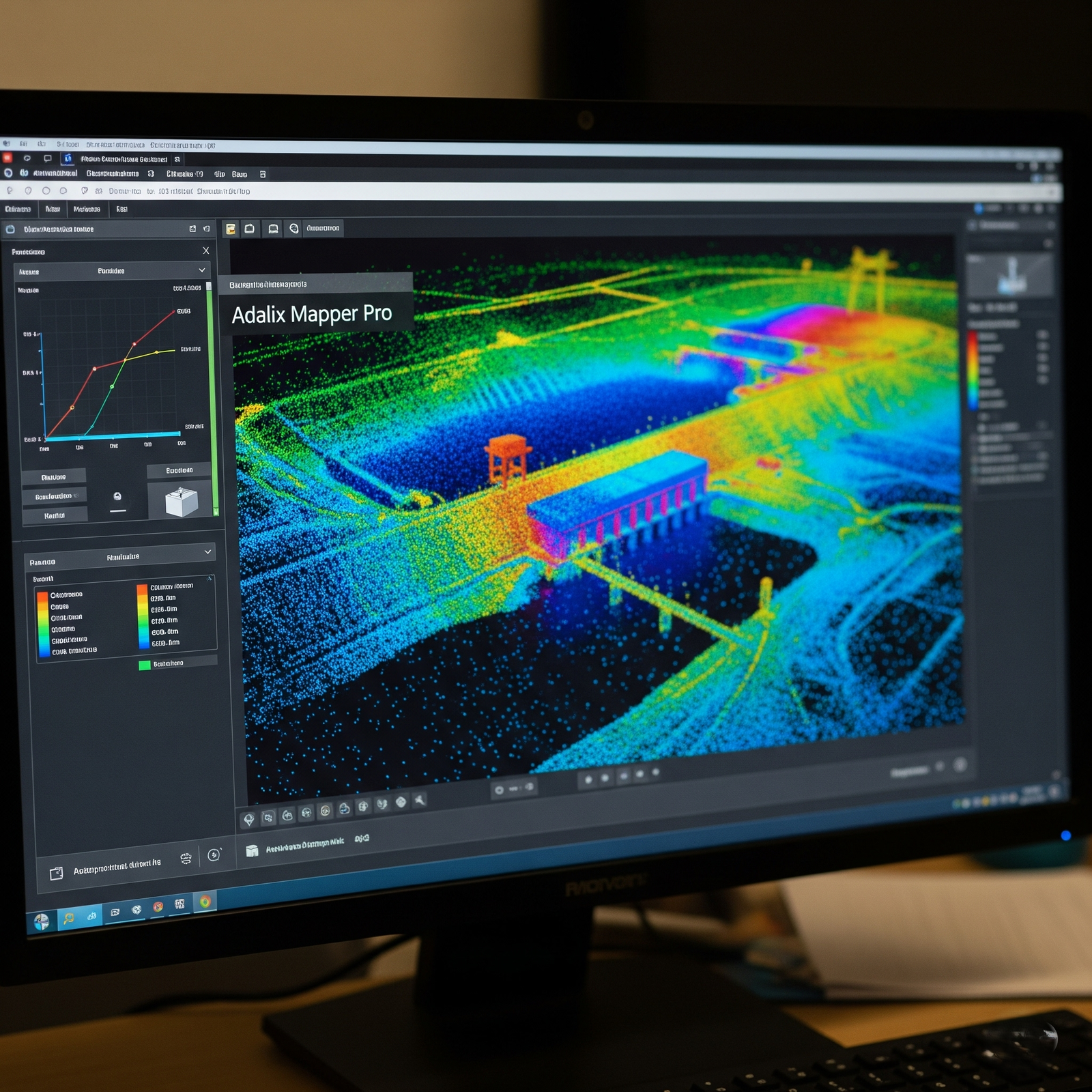
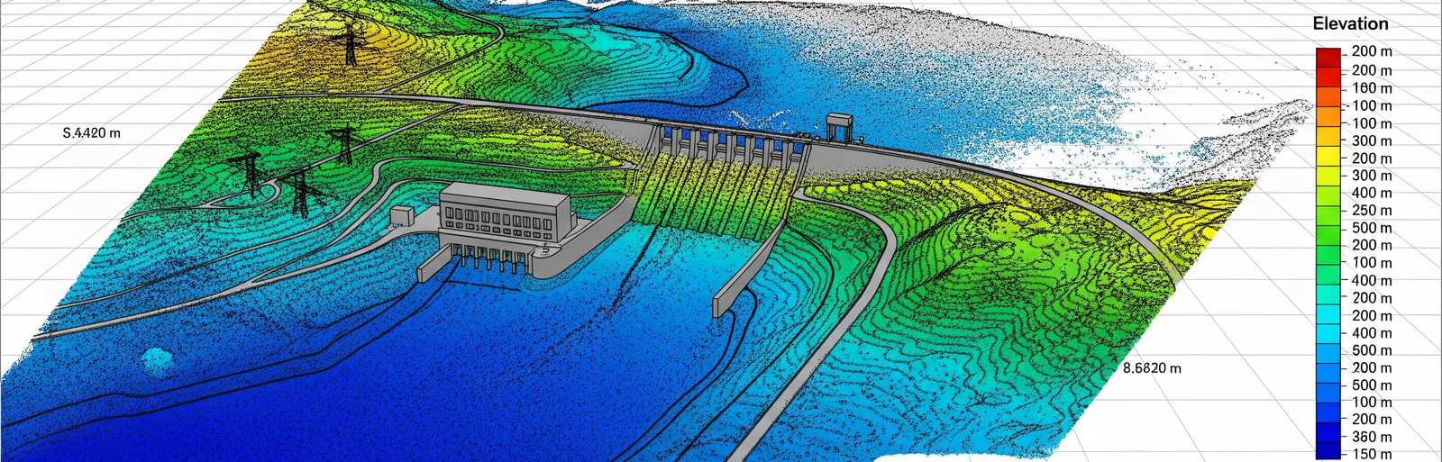
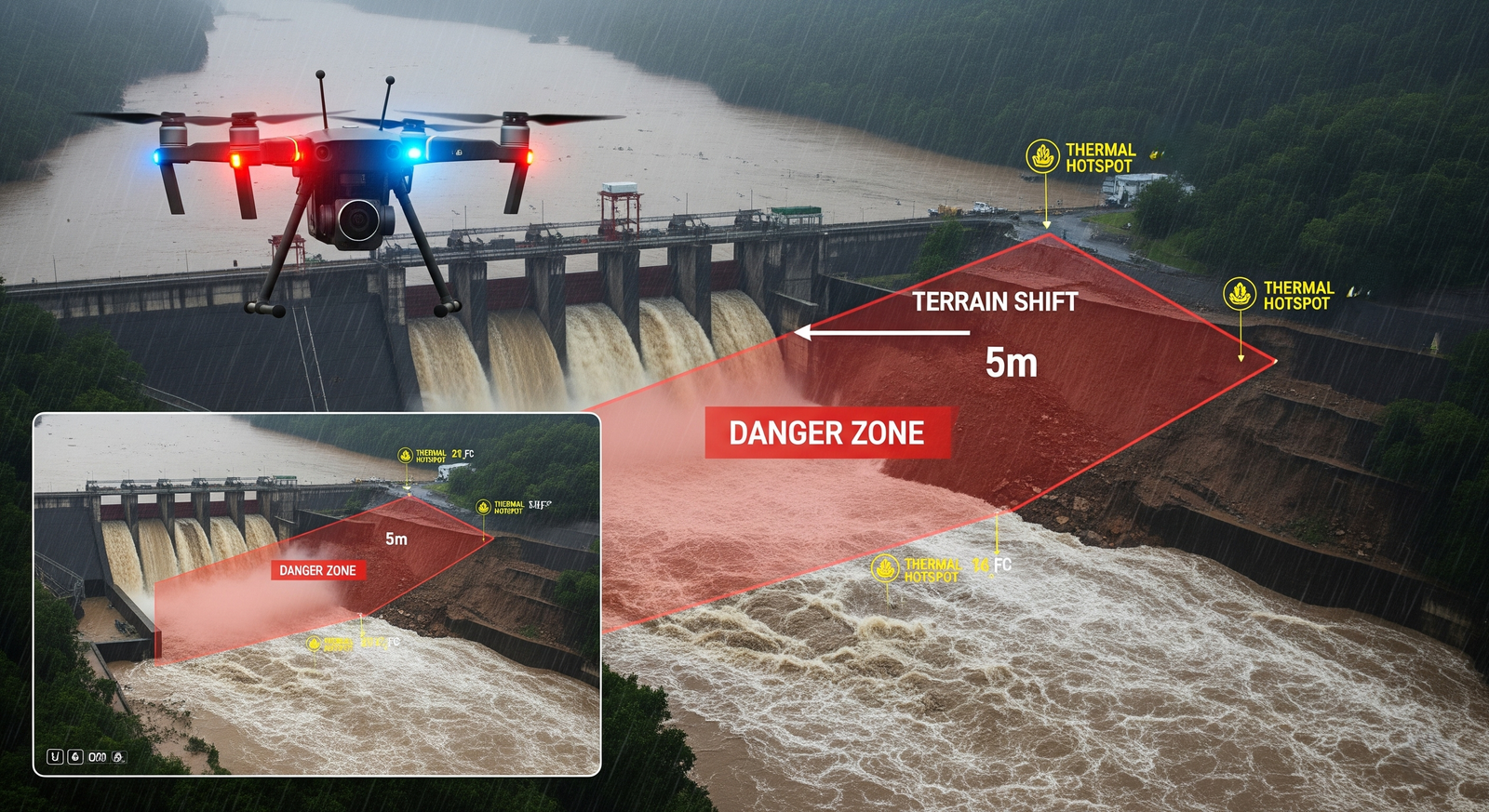
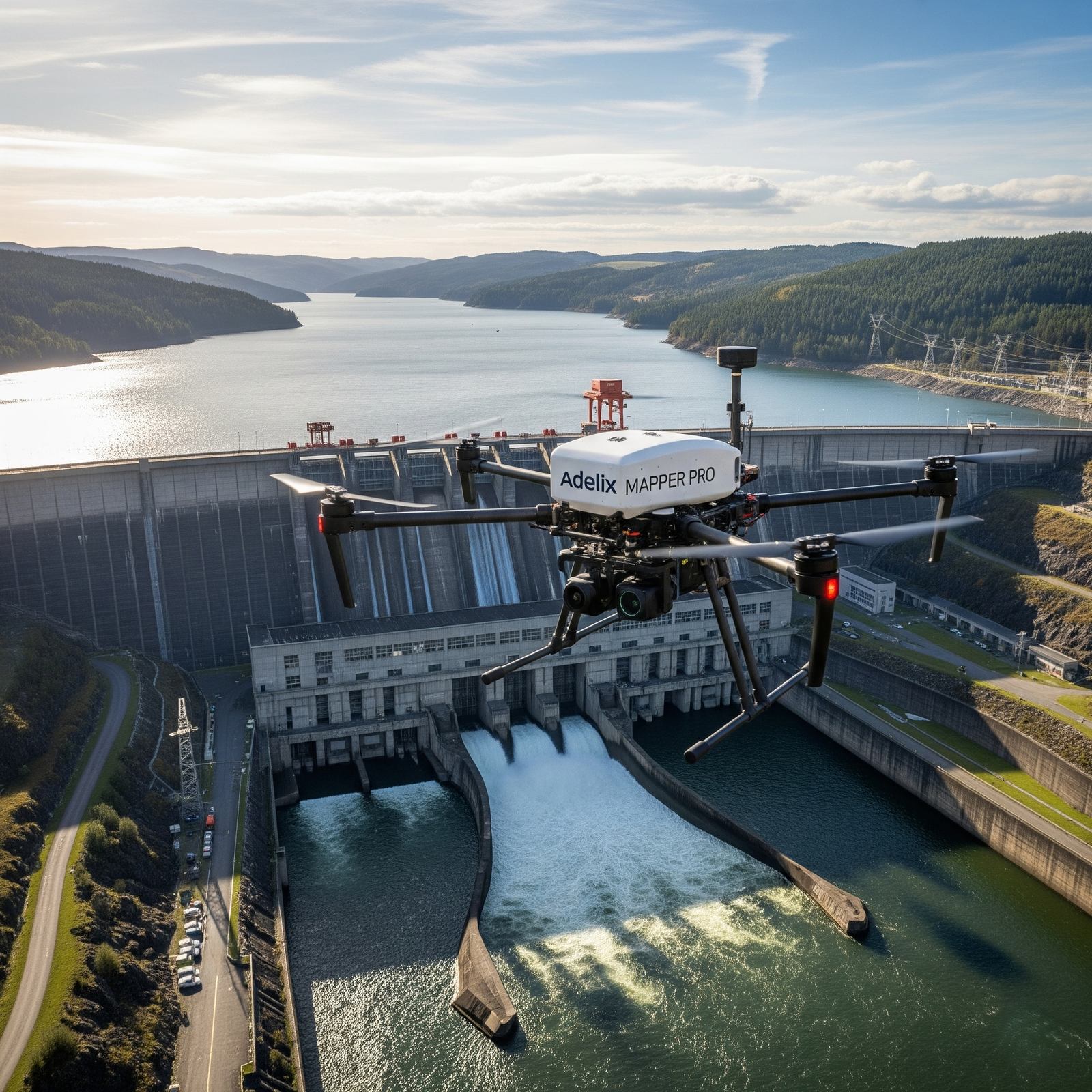
Drones equipped with high-resolution RGB cameras and oblique-angle gimbals are deployed to capture precise imagery of dam walls, spillways, and reservoir boundaries. These aerial inspections can reveal micro-cracks as small as a few millimeters, along with signs of leakage, surface erosion, vegetation intrusion, and long-term structural wear. When combined with thermal imaging sensors, drones can identify seepage and detect hidden weaknesses caused by variations in surface temperature. The technical deliverables from these surveys include high-quality defect mapping, orthophotos of dam structures, and detailed structural condition reports, all of which support preventive maintenance and enhance safety monitoring.

Reservoir & Waterbody Survey

Reservoir & Waterbody Survey

For reservoirs, canals, and river systems, drones integrated with LiDAR scanners, multispectral payloads, and RTK/PPK-enabled GPS modules provide accurate and detailed survey data. This technology enables centimeter-level precision in 3D mapping of waterbodies and surrounding terrain. Photogrammetry enhances these datasets by delivering insights into sedimentation buildup, water storage capacity, and flow dynamics. The key deliverables from these surveys include 3D terrain and reservoir models, sedimentation and siltation analysis, and comprehensive water resource management maps. Such data is crucial for optimizing hydroelectric project efficiency and ensuring effective flood planning.

Powerhouse & Infrastructure Inspection

Powerhouse & Infrastructure Inspection

Critical infrastructure such as turbines, penstocks, transformers, and substations can be inspected using drones equipped with thermal imaging, zoom-enabled optical cameras, and high-resolution RGB sensors. Thermal cameras detect hotspots and electrical anomalies in operating equipment, while zoom optics allow close-up inspections of high-risk or difficult-to-access areas without interrupting operations. In confined spaces, UAVs with obstacle-avoidance technology can be used to inspect penstock interiors and other enclosed assets. Deliverables from these surveys include thermal anomaly detection reports, high-definition condition documentation, and predictive maintenance datasets that improve asset reliability and reduce downtime.

Disaster Management & Safety

Disaster Management & Safety

During emergencies such as landslides, floods, or seismic events, drones provide rapid and reliable situational awareness. Equipped with RGB cameras, thermal sensors, and LiDAR payloads, drones deliver real-time imagery and precise terrain data. This allows engineers and emergency response teams to quickly assess structural damage, monitor terrain shifts, and identify affected zones. Technical outputs include emergency response maps, terrain deformation and change analysis, and live monitoring dashboards. These deliverables enable faster decision-making, enhance safety measures, and support efficient recovery operations in disaster scenarios.

Get in Touch With Our Hydro Power Survey Experts

Looking for advanced drone solutions for dam, reservoir, or hydro power inspections? Our experts are here to support your projects with reliable and precise data.

📧 Email Us: info@adelix.in 📧 Email Us: infoadelix@gmail.com 📧 Email Us: requirementsadelix@gmail.com 💬 Chat on WhatsApp: +91 72879 93729 📞 Call Us: +91 72879 93729